Suggest Maps
Frequently Asked Questions
-
What is an outline map?
-
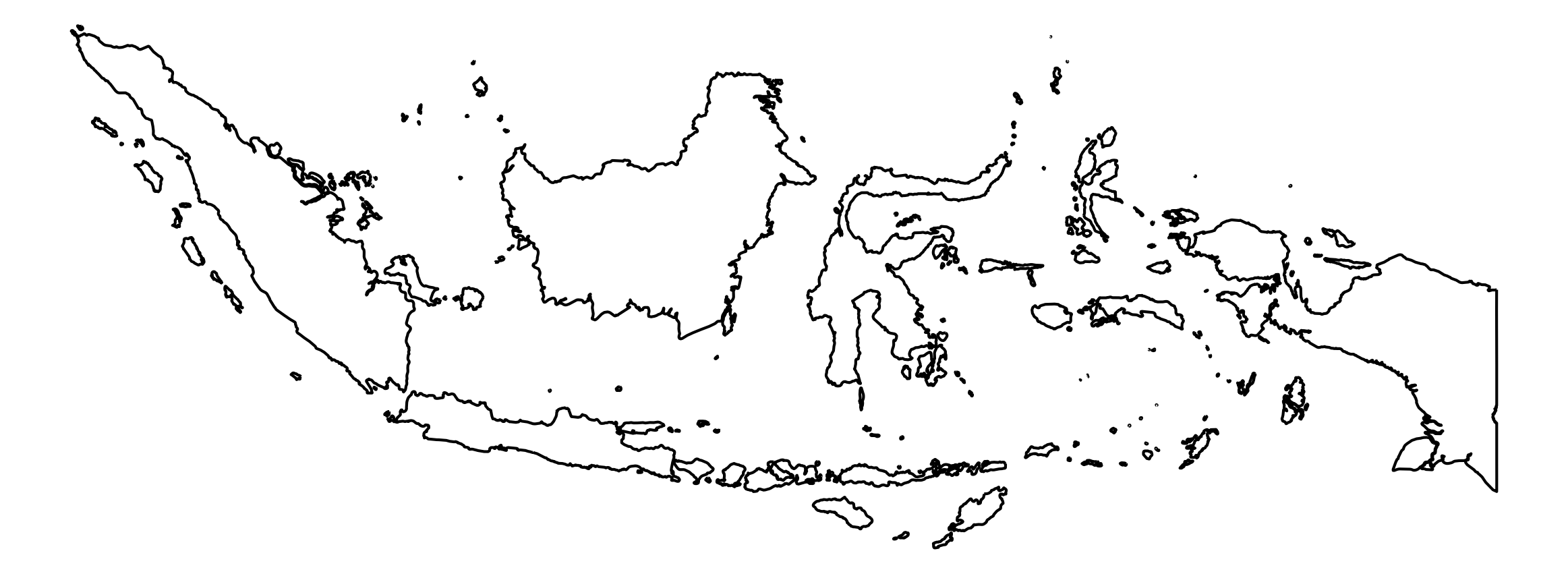
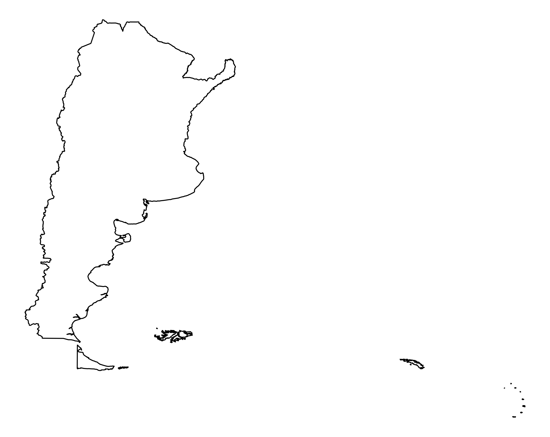
An outline map is a simplified map showing boundaries and basic geographic features without detailed information, perfect for educational purposes, presentations, and custom designs.
-
Are these maps free to download?
-
Yes, all maps on our website are free to download in both PNG and SVG formats for personal and commercial use.
-
How can I find the map I need?
-
You can use our search function to find maps by country or region name, or browse through our categorized collections of continents and regions.
-
What can I use these maps for?
-
Our maps can be used for education, business presentations, websites, publications, infographics, and any other project requiring clear geographical representations.
-
Which file format should I choose?
-
Choose PNG for direct use in documents and presentations. Select SVG if you need to edit the map, change colors, or scale it without losing quality.
-
Can I edit these maps?
-
Yes, our SVG maps are fully editable using vector graphics software like Adobe Illustrator, Inkscape, or other SVG editors.
-
Do I need to credit the source?
-
While not required, we appreciate attribution to our website when using our maps in your projects.
-
Where does the map data come from?
-
All our map data comes from Natural Earth, a public domain map dataset developed by volunteer cartographers and GIS analysts.


